
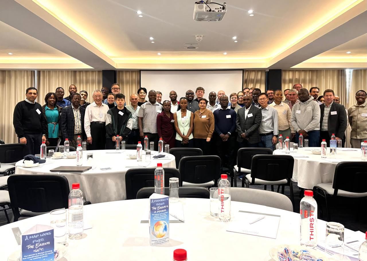
The International Federation of Surveyors—known globally by its French abbreviation FIG (Fédération Internationale des Géomètres)—is the premier UN- and World Bank–recognized non-governmental organization representing surveying, geospatial, and land administration professionals worldwide. Founded in 1878, FIG represents national member associations, ministries, academic institutions, and industry experts across more than 120 countries. The organization serves as an international platform to advance professional standards, promote technical innovation, and leverage spatial data to address critical global challenges—from urban planning and disaster management to sustainable development.
Climate YES was proud to support Charles Bakolo, Climate YES Malawi Coordinator, to participate in the FIG Congress 2026 in Cape Town, South Africa. As one of the world’s premier gatherings of surveying, geospatial, and land administration professionals, the event brought together global experts, policymakers, researchers, and practitioners to address key innovations and challenges in geospatial sciences and sustainable development.
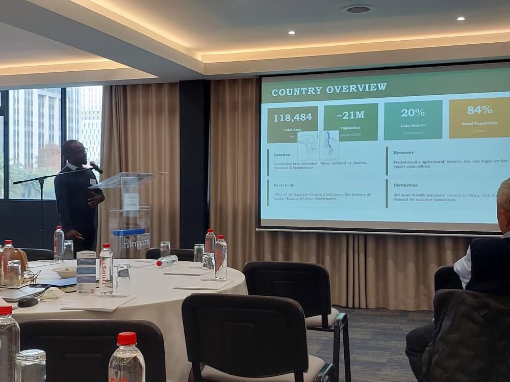
Supported jointly by the United Nations Office for Outer Space Affairs (UNOOSA), Climate YES, and the International Committee on Global Navigation Satellite Systems (ICG), Charles presented on the critical role of geodesy in national development and regional cooperation. His session offered a vital space to engage with international geospatial experts and share insights on upgrading Africa’s geodetic infrastructure and technical capacity.
During the conference, Charles engaged in strategic networking and collaborative dialogue with peers across multiple regions. These discussions opened avenues for new partnerships focused on enhancing African geospatial capabilities, boosting capacity building for geodetic professionals, improving regional reference frame alignment, and modernising foundational mapping and positioning systems.
A major takeaway from the event was that geodesy, though operating largely behind the scenes, is indispensable to modern society. Reliable geospatial data underpins effective land administration, infrastructure, disaster risk management, climate resilience, and evidence-based policy. Strengthening these frameworks is essential for meeting sustainable development targets across the region.
International cooperation remains critical to addressing technical and institutional gaps in the geospatial sector. By enabling leaders like Charles Bakolo to represent the network at international forums like FIG 2026, Climate YES continues its commitment to empowering youth and driving regional progress through science, technology, and faith-inspired leadership.
Leave a Reply